

Heather Farm March 2011
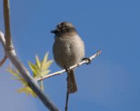
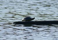
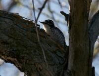
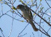
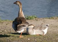
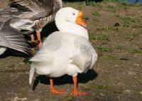
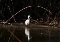
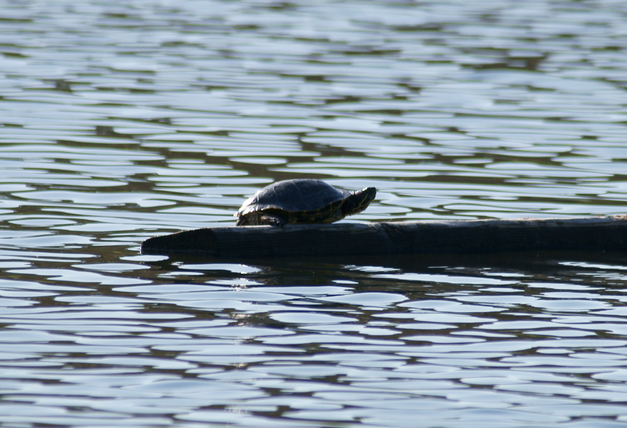
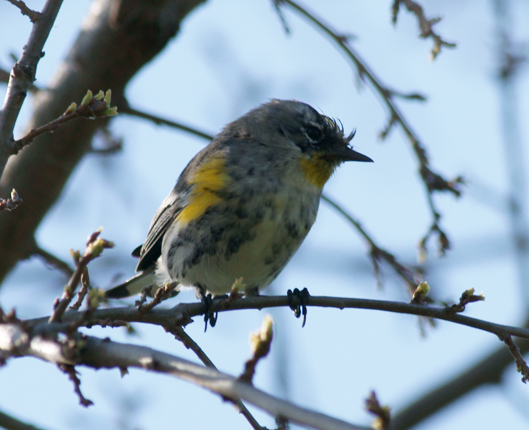
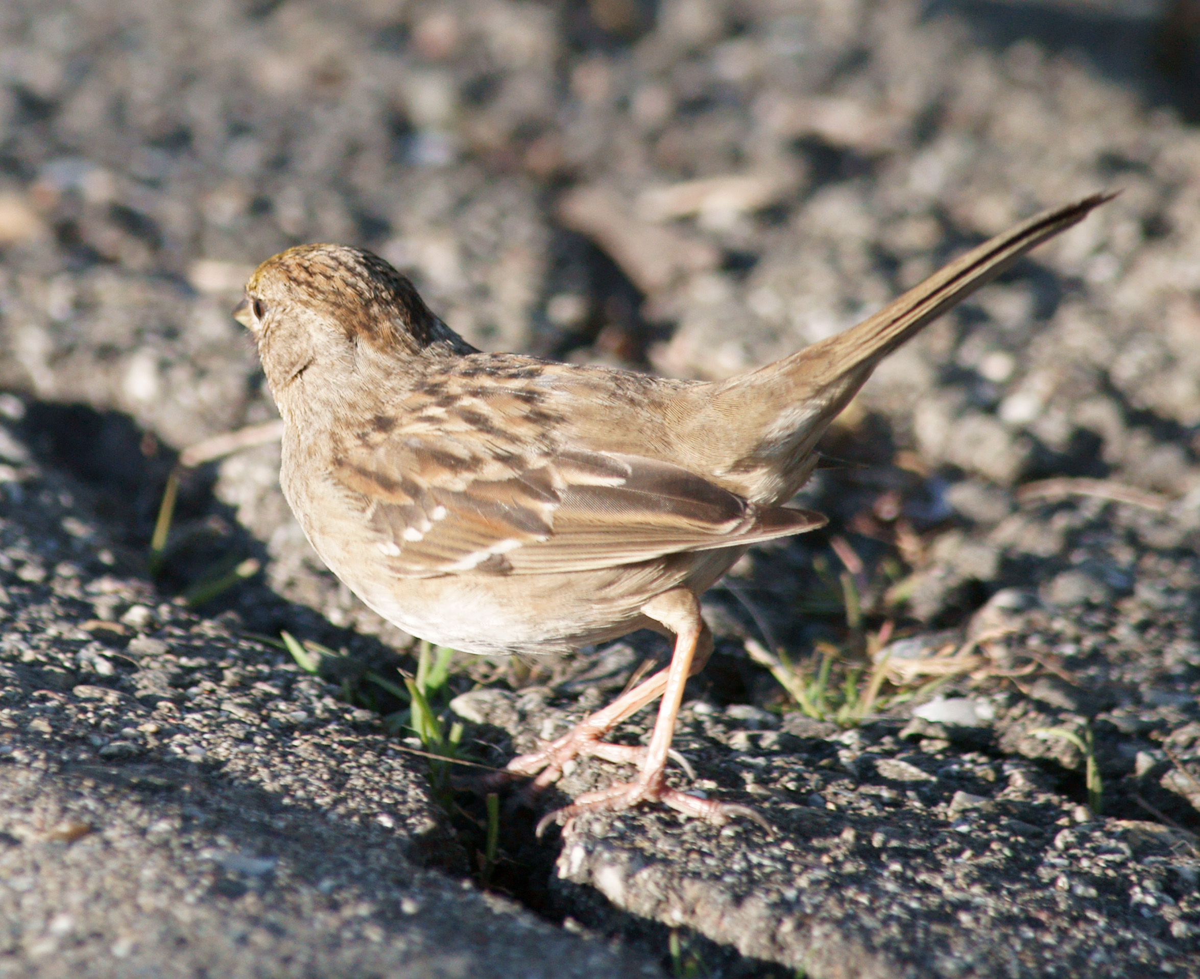
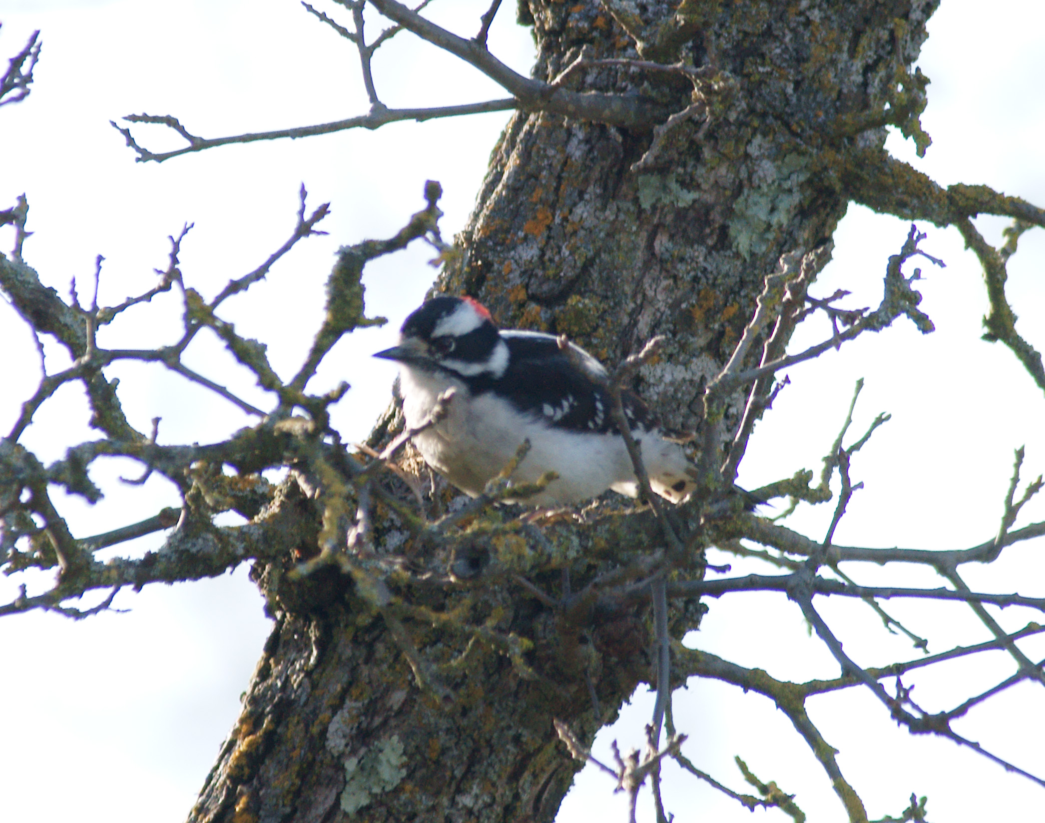
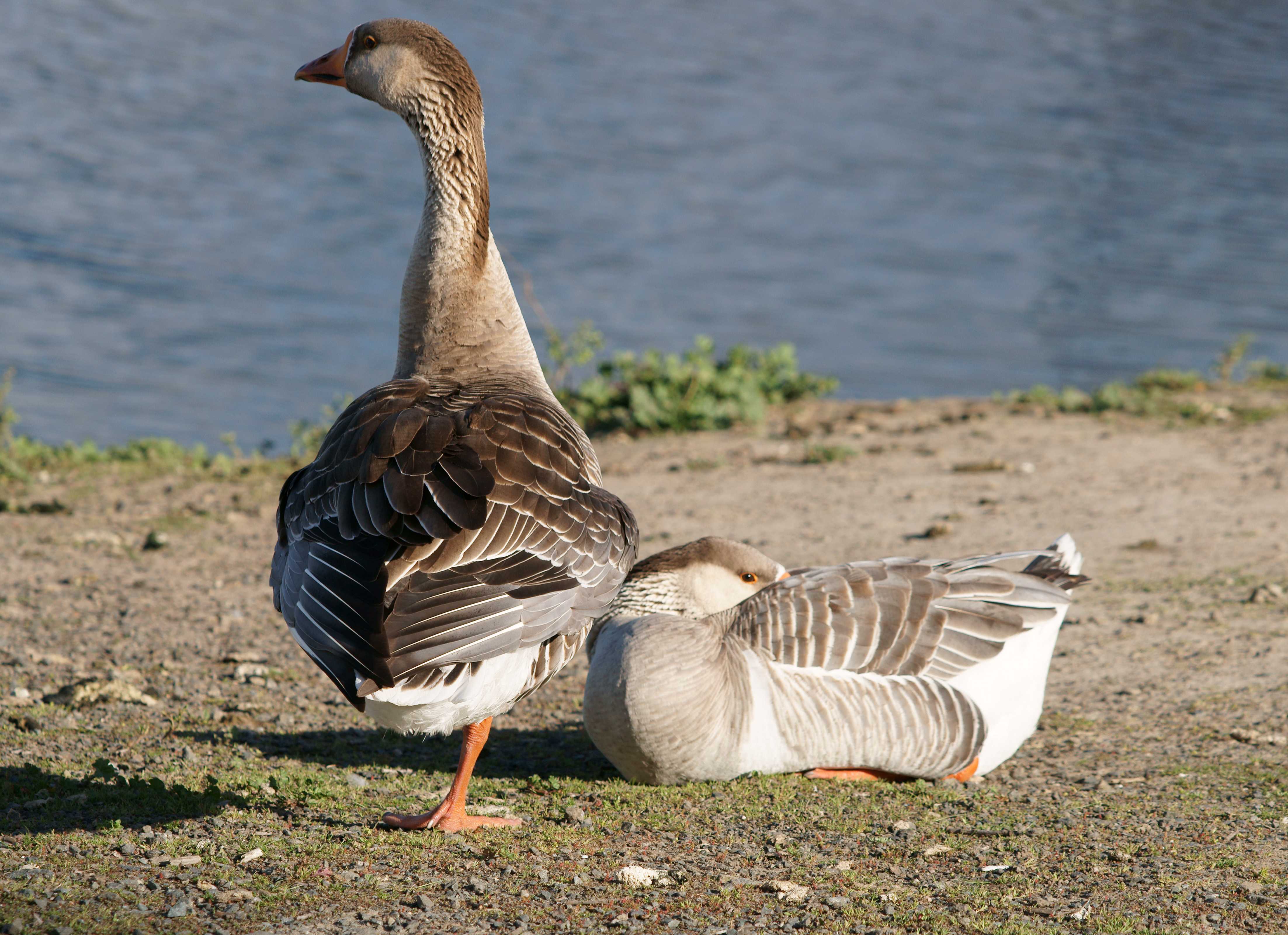
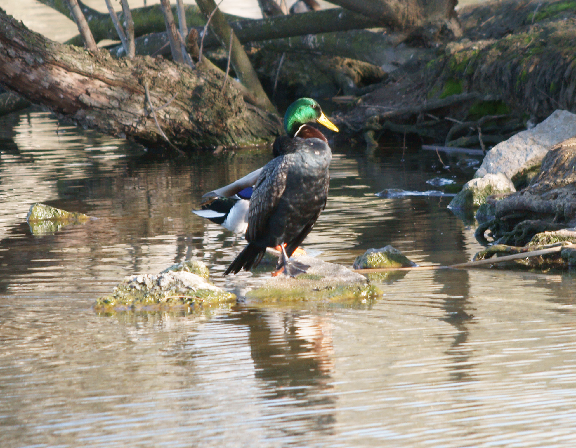
Back in the Bay Area after a long break and a sneaky hour out to walk round Heather Farm given that it's just down the road from where we live. Quite a few birds out. In addition to the multiple geese crosses, I think the birds photographed are:
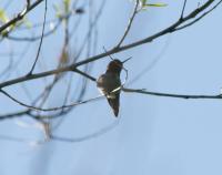
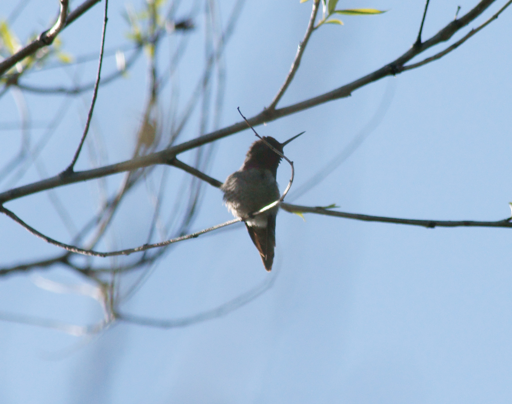
- Anna's Hummingbird
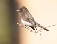
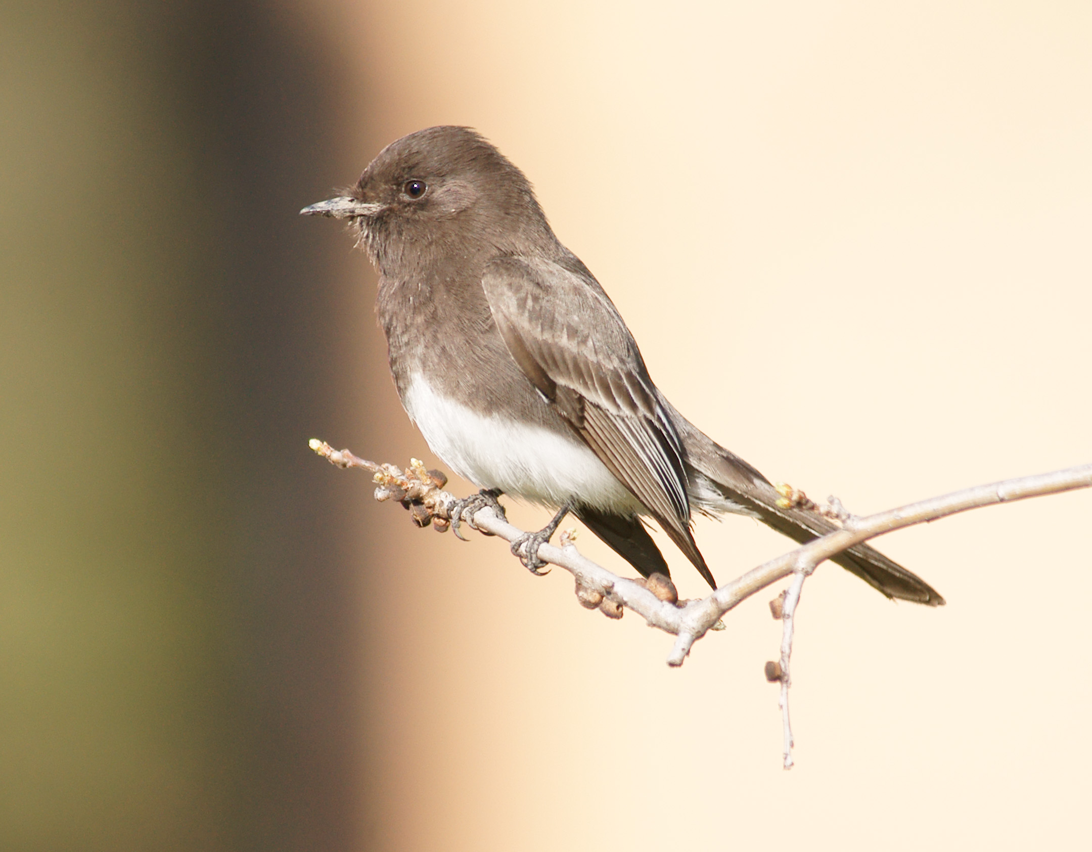
- Black Phoebe
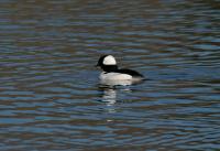
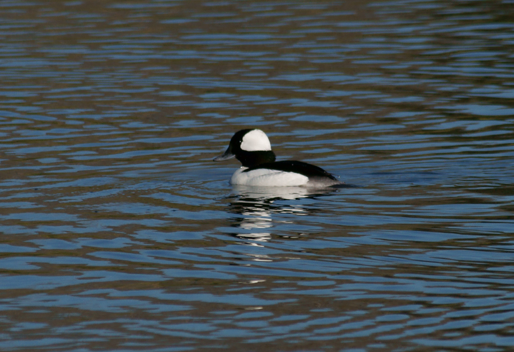
- Bufflehead
- Bushtit
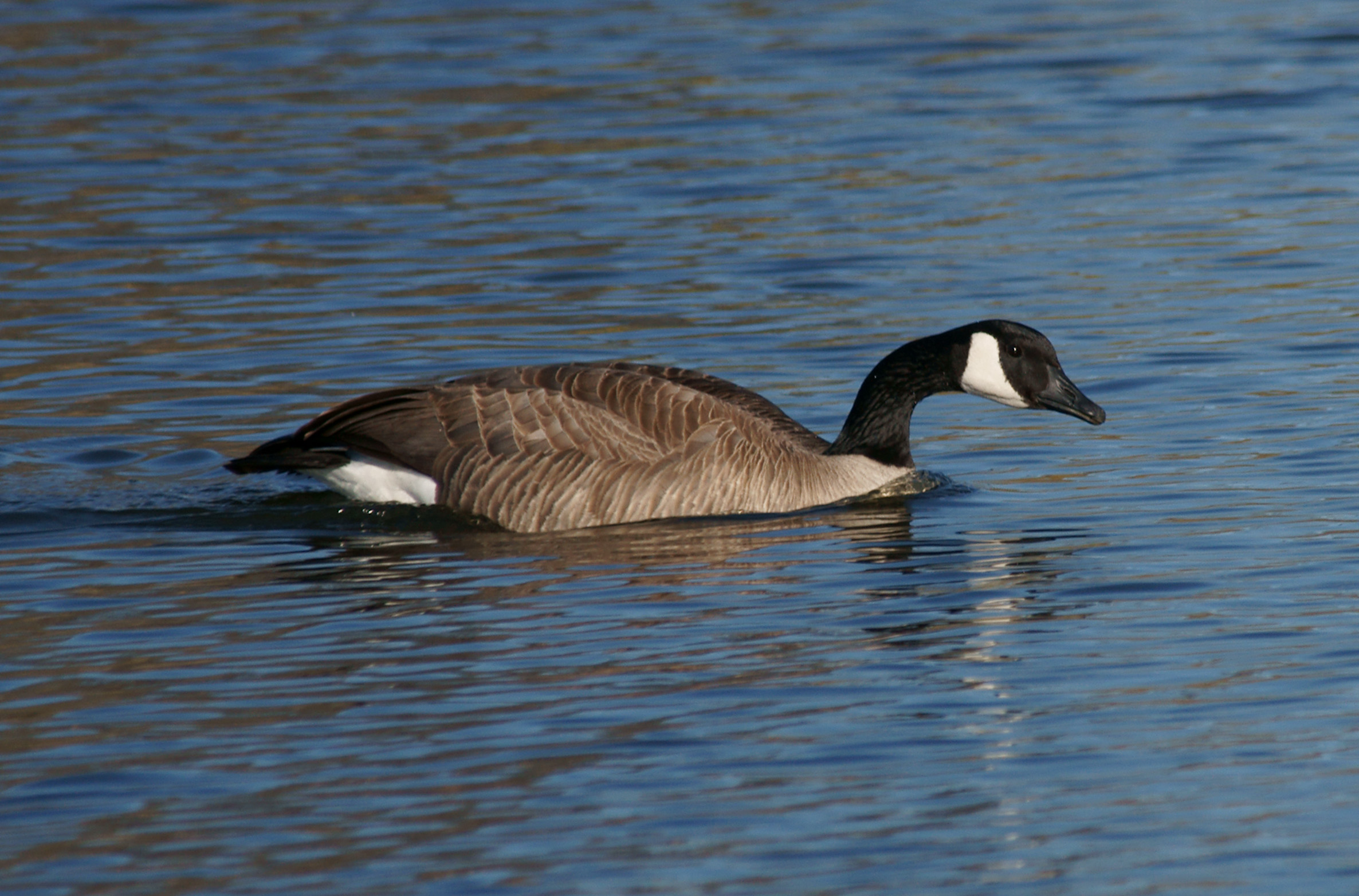
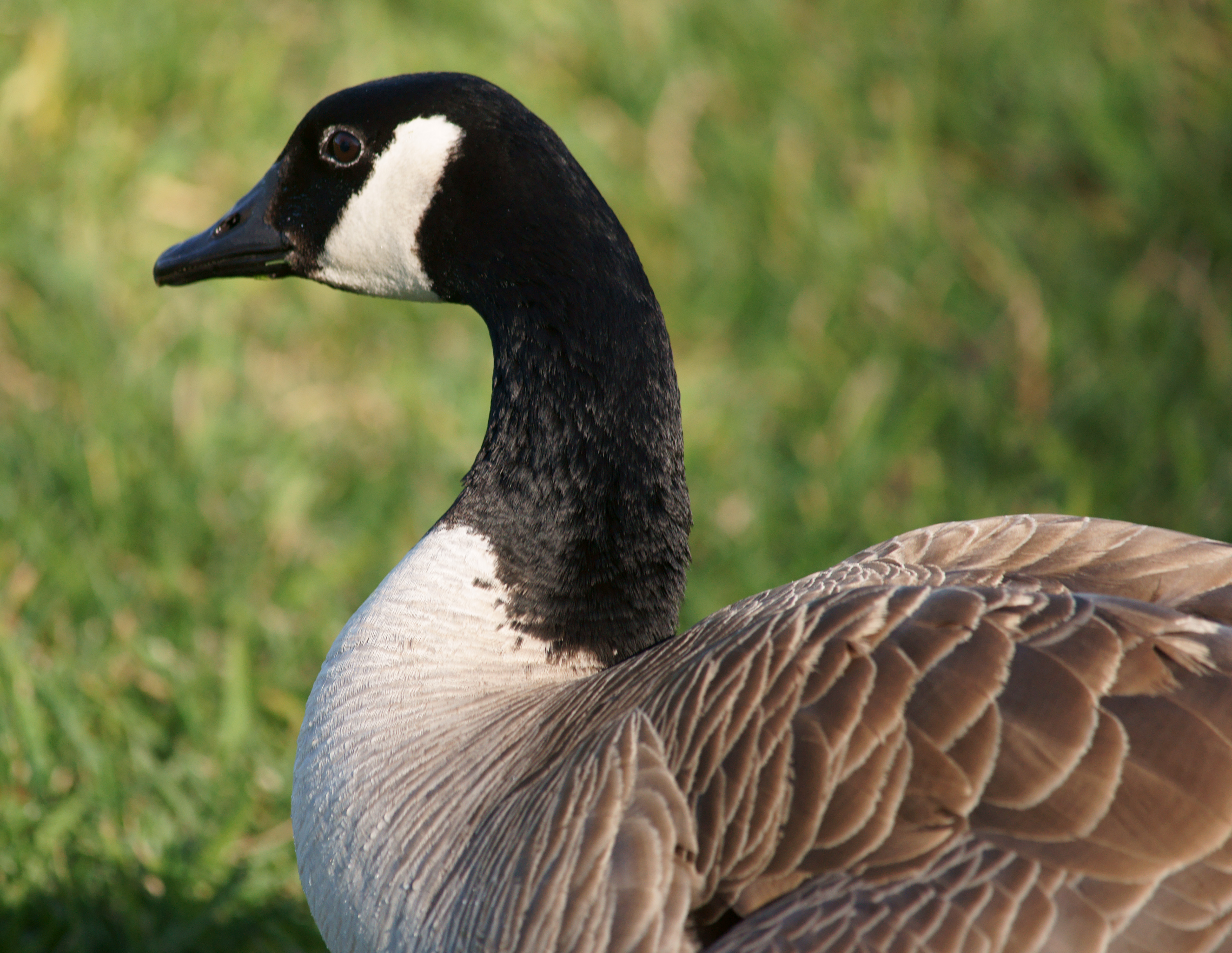
- Canada Goose
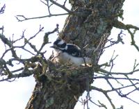
- Downy Woodpecker
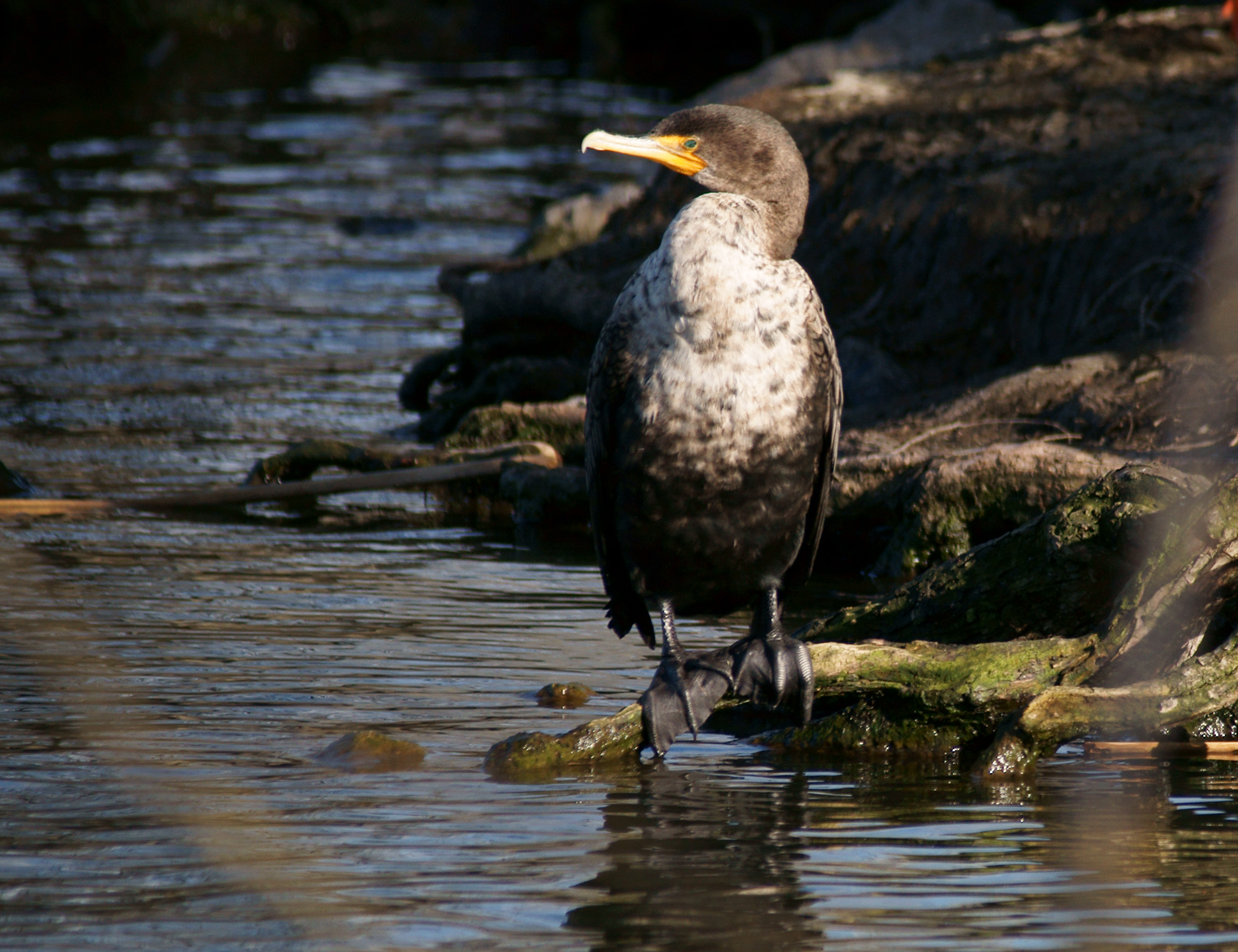
- Double-Crested Cormorant
- Greylag Goose
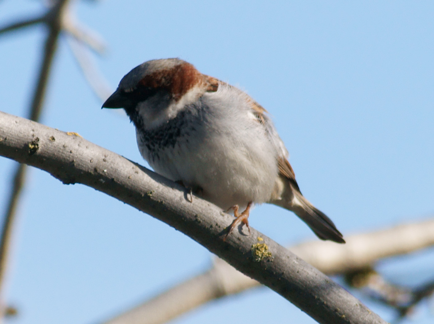
- House Sparrow
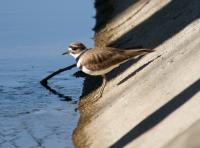
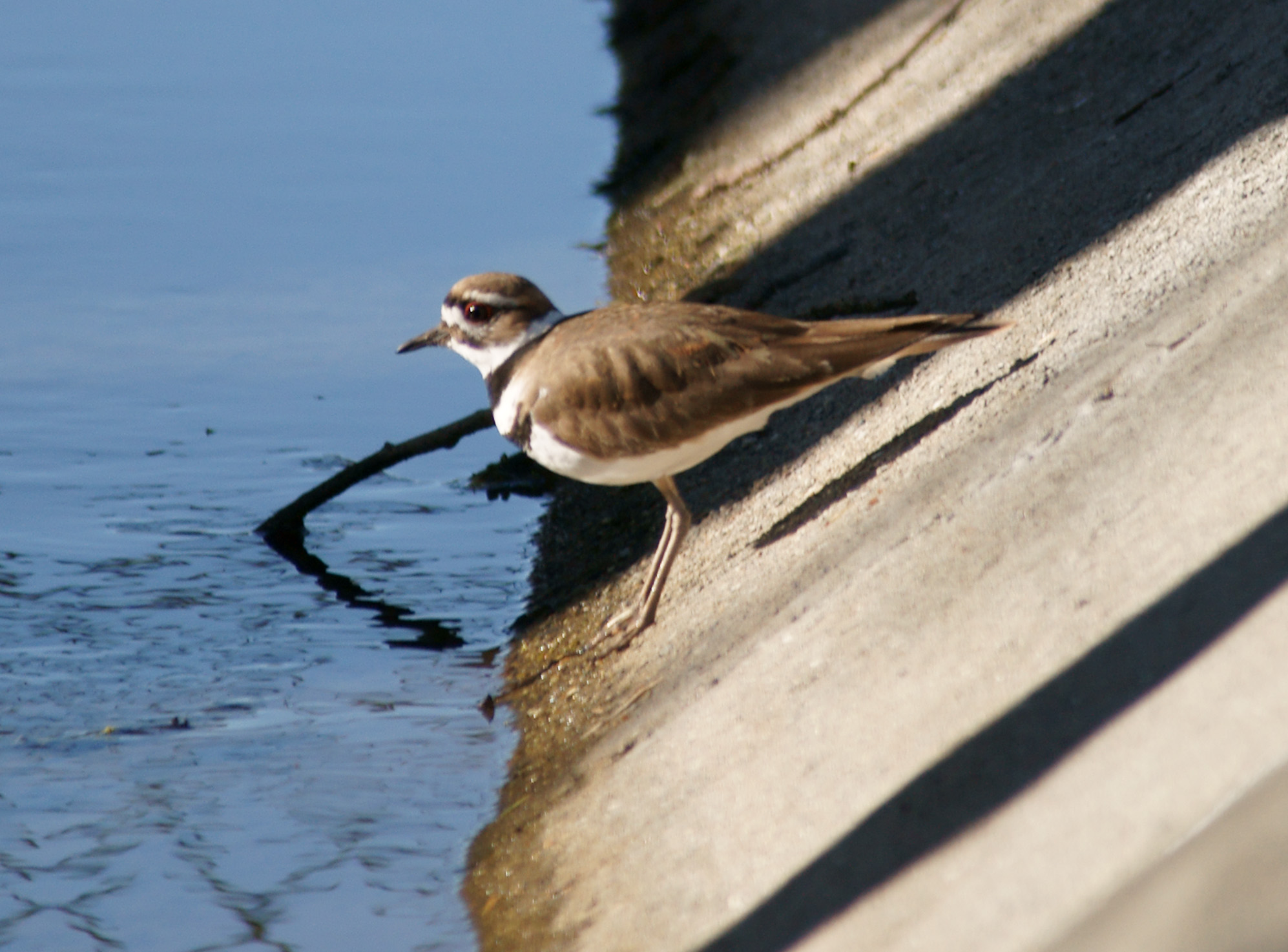
- Killdeer
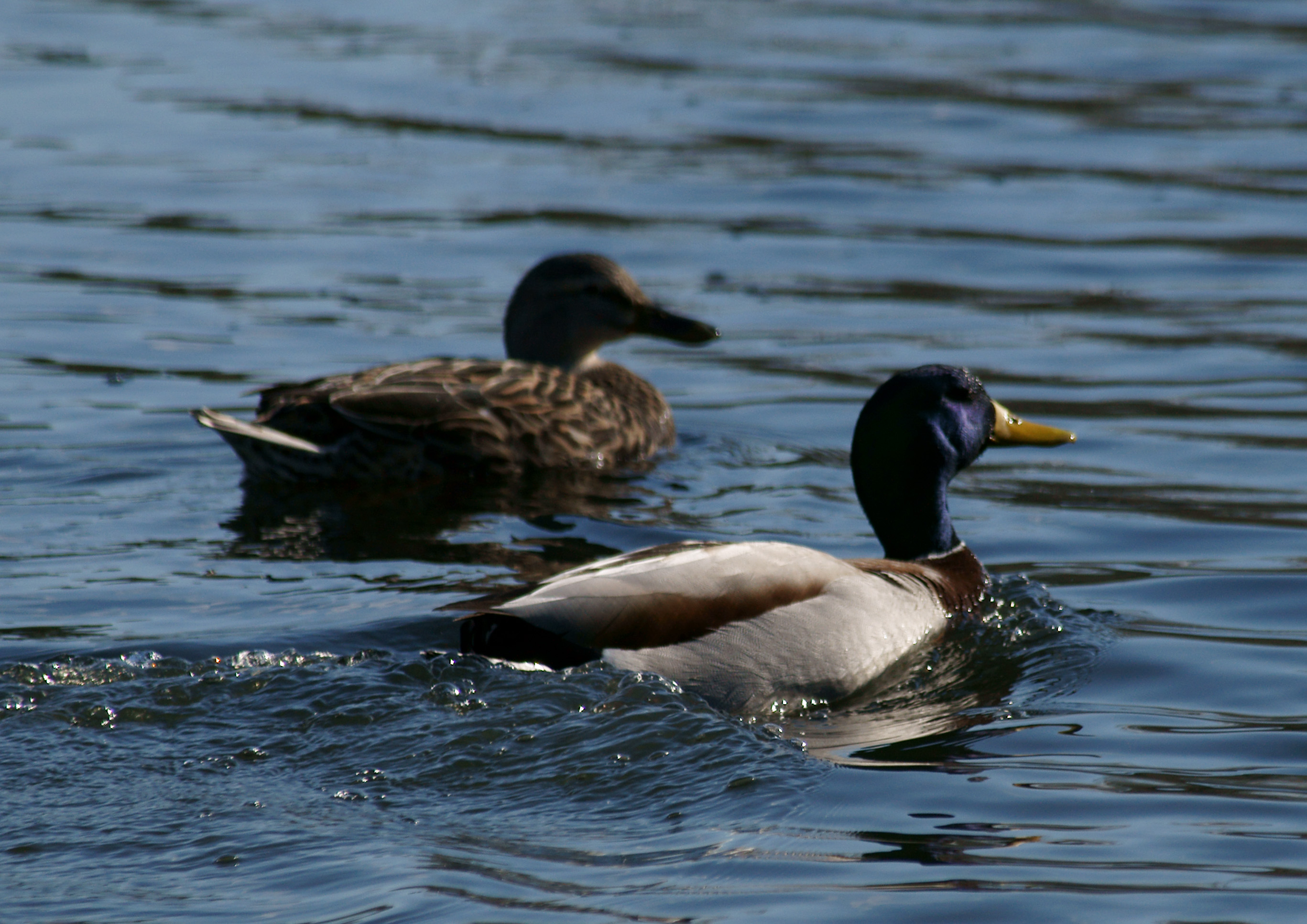
- Mallard
- Northern Mockingbird
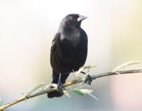
- Red-Winged Blackbird
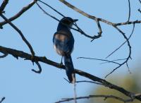
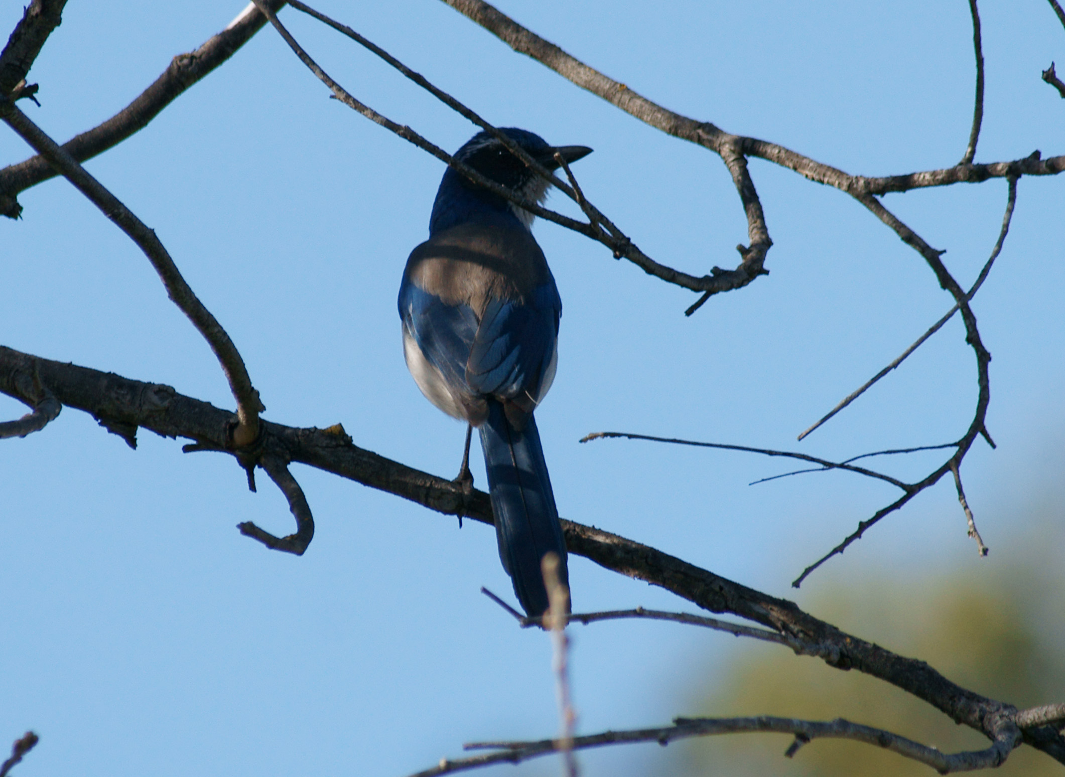
- Scrub Jay
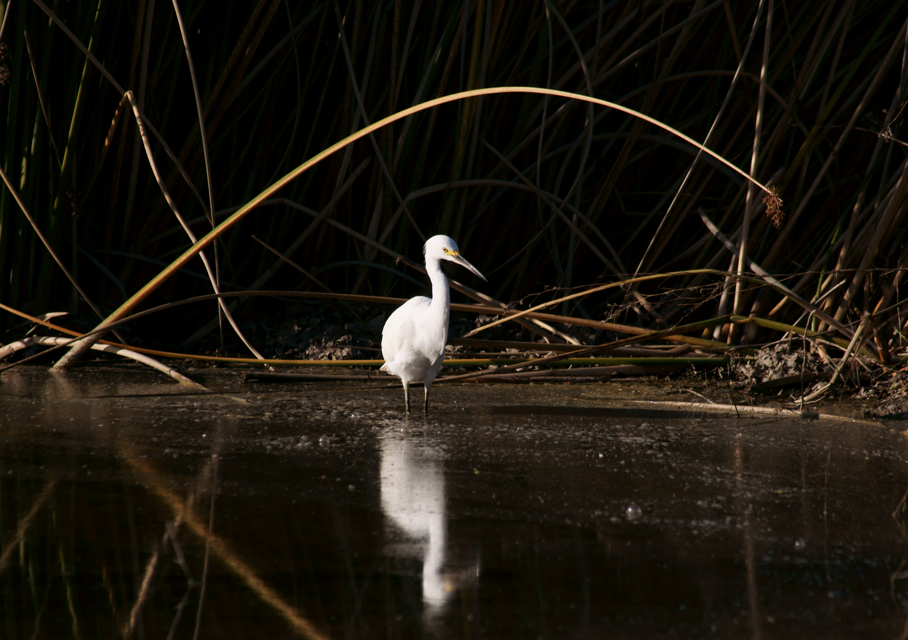
- Snowy Egret
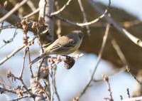
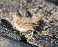
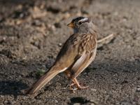
- White Crowned Sparrow
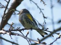
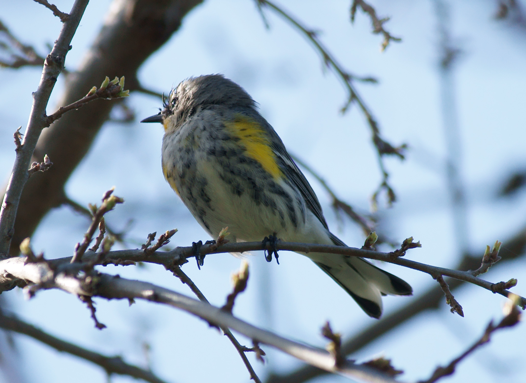
- Yellow-Rumped Warbler
Slideshow
View images as a slideshow. Select the parameters for the images to advance automatically or select the manual slideshow to advance the images manually
Images
Images can be clicked to see larger. Click the link under the image to see the full resolution version.


Click on above images to see them larger
Geotagged Image Map
The photos above have been geotagged and can be viewed on the map below. Click any of the pins to see the relevant information - green = track start, red = track end and blue = pictures taken along the way. You can also cycle through the pictures by clicking the “next” or “prev” links.