

Riggs Canyon July 2009
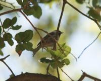
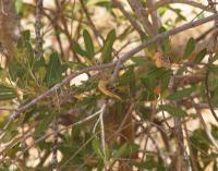
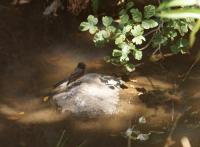
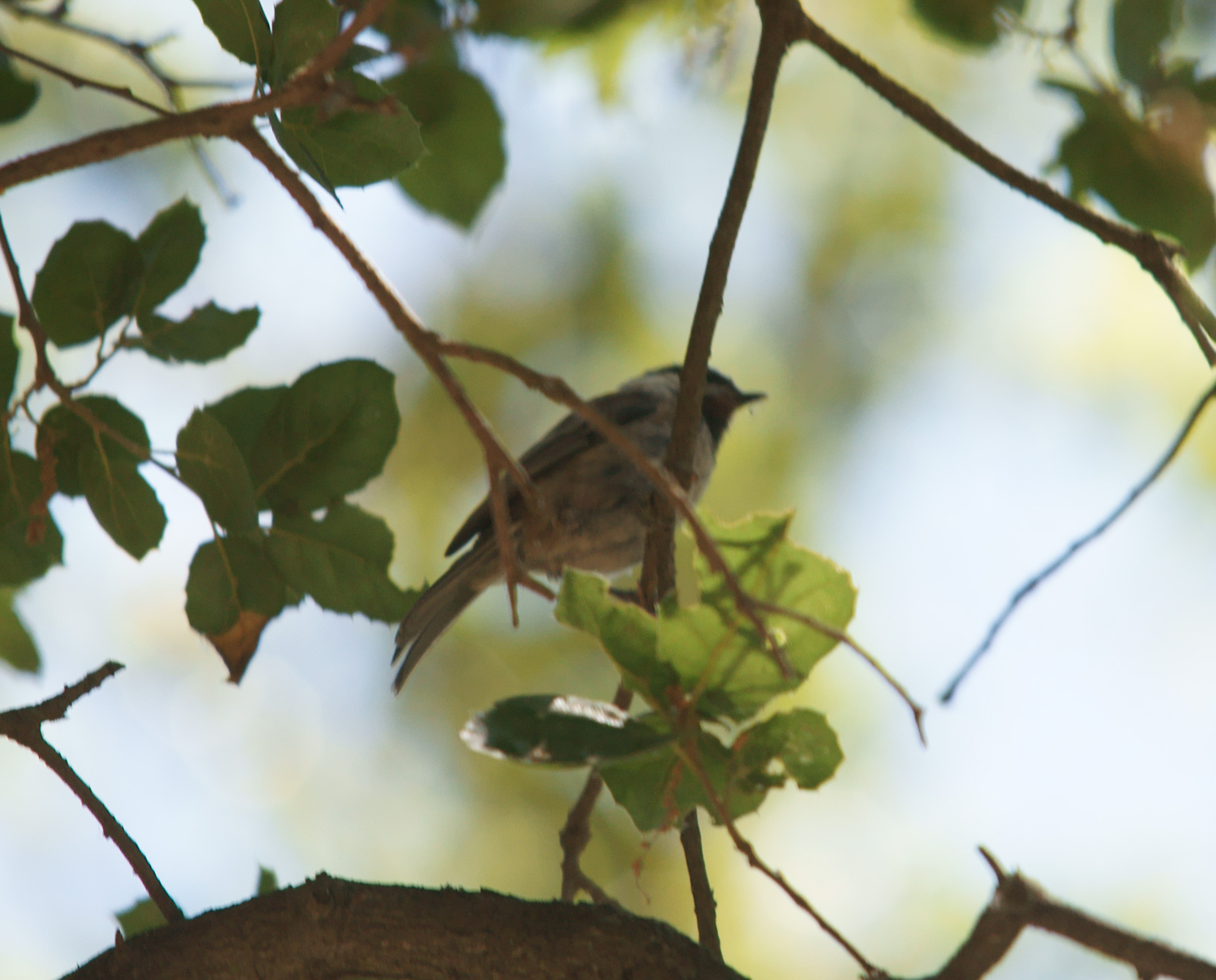
Riggs canyon is a place I've driven to on my own and not been able to visit. You need to park your car a fair way back down the road from where the track starts. It's not that far, but too far for me, so I took the opportunity to get Karen to drop me off and then go park the car and catch up to me. Very nice place and a very nice day. Plenty of birds around, most in the first part of the trail. The further you go along the trail, the more you end up in a sort of wooded area that makes it a little more difficult to see the birds and almost impossible to get any photographs of them.
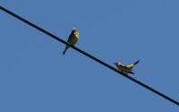
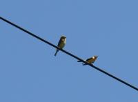
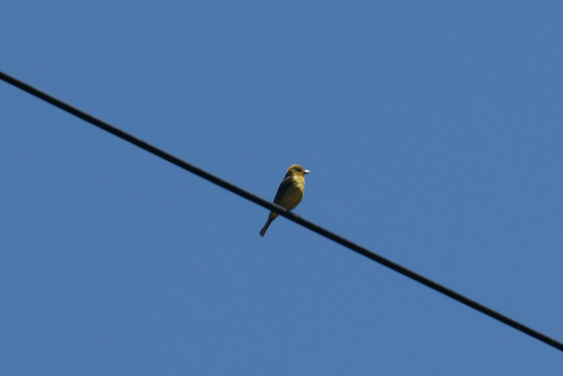
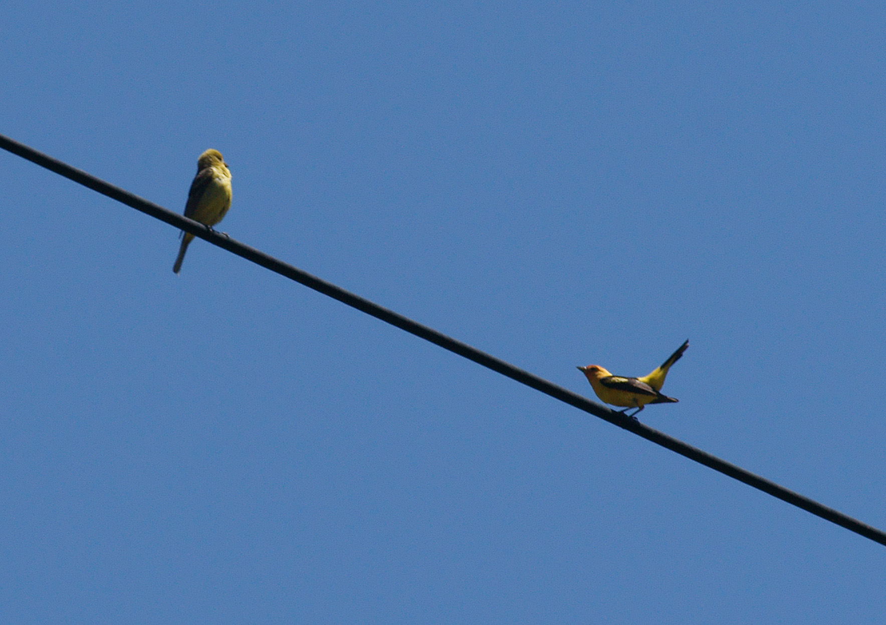
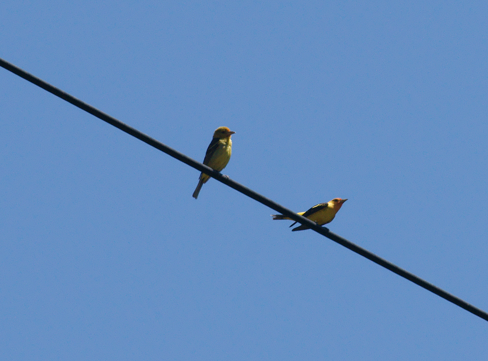
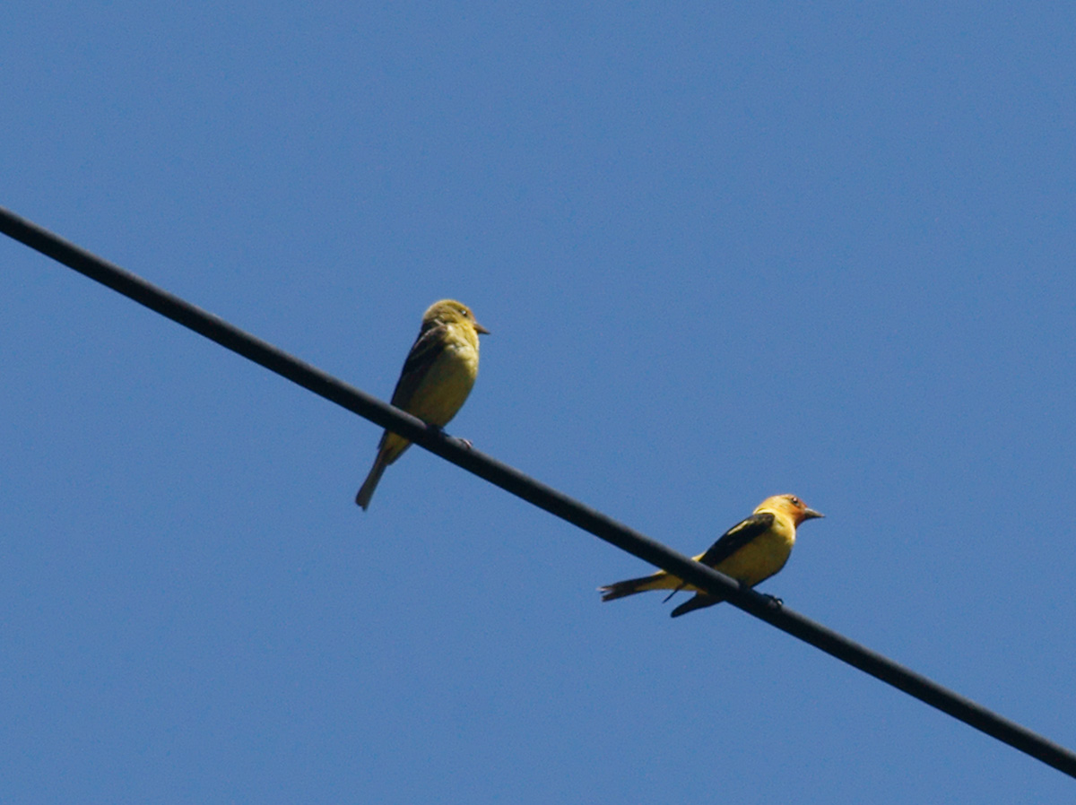
The highlight was a mating ritual put on for us by a pair of western tanagers. The female landed on the telephone wire and the male was soon to arrive to strut his stuff. Most of his moves seemed to consist of the arse thrust - kind of a lets see how far I can push my bottom out. Don't know if it worked - they both left, maybe to get busy in privacy or to go their separate ways. The birds photographed are:
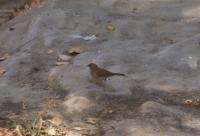
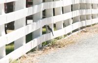
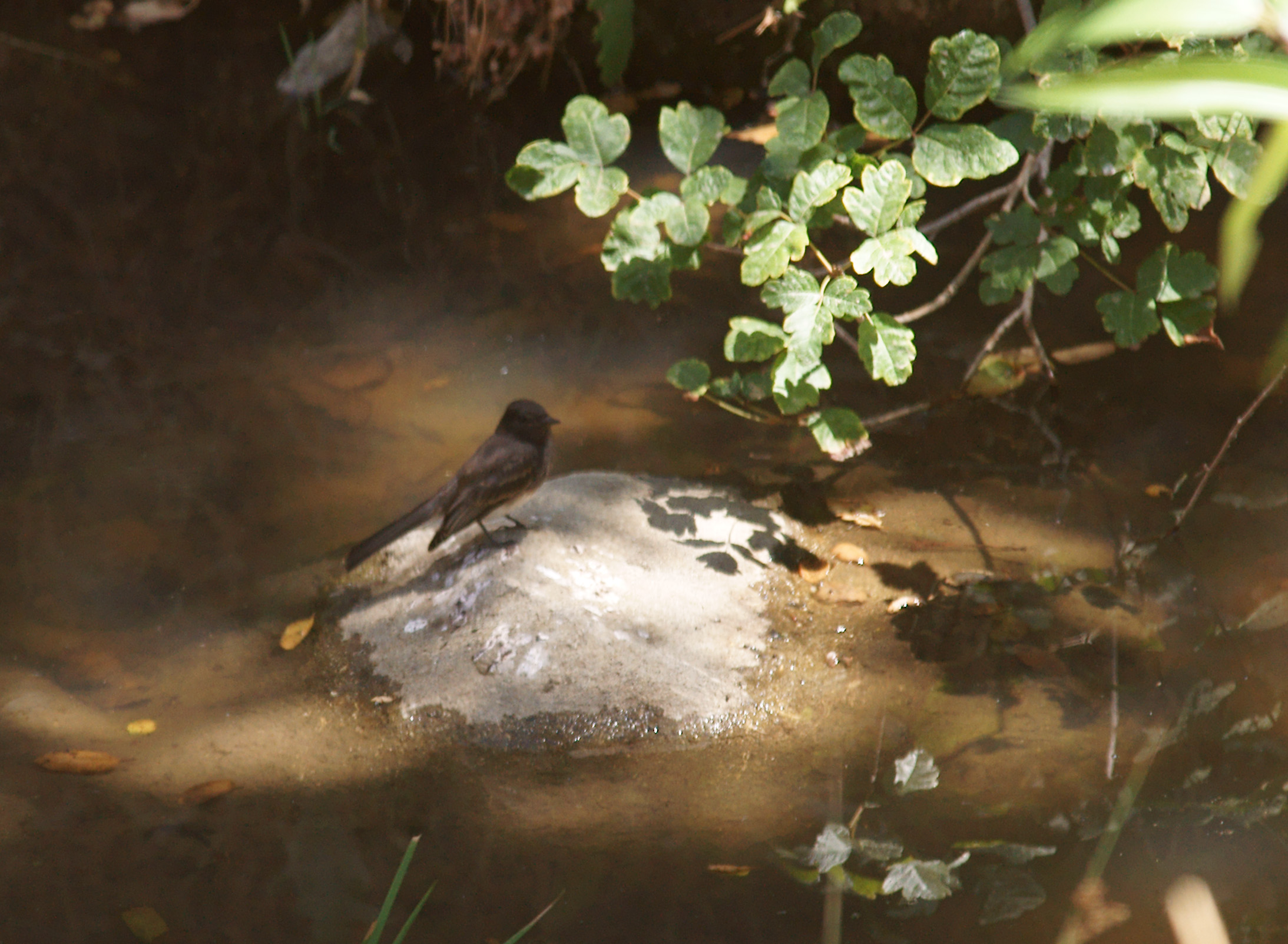
- Black Phoebe
- Chestnut-Backed Chickadee
- Dark-Eyed Junko
- Nuttal's Woodpecker
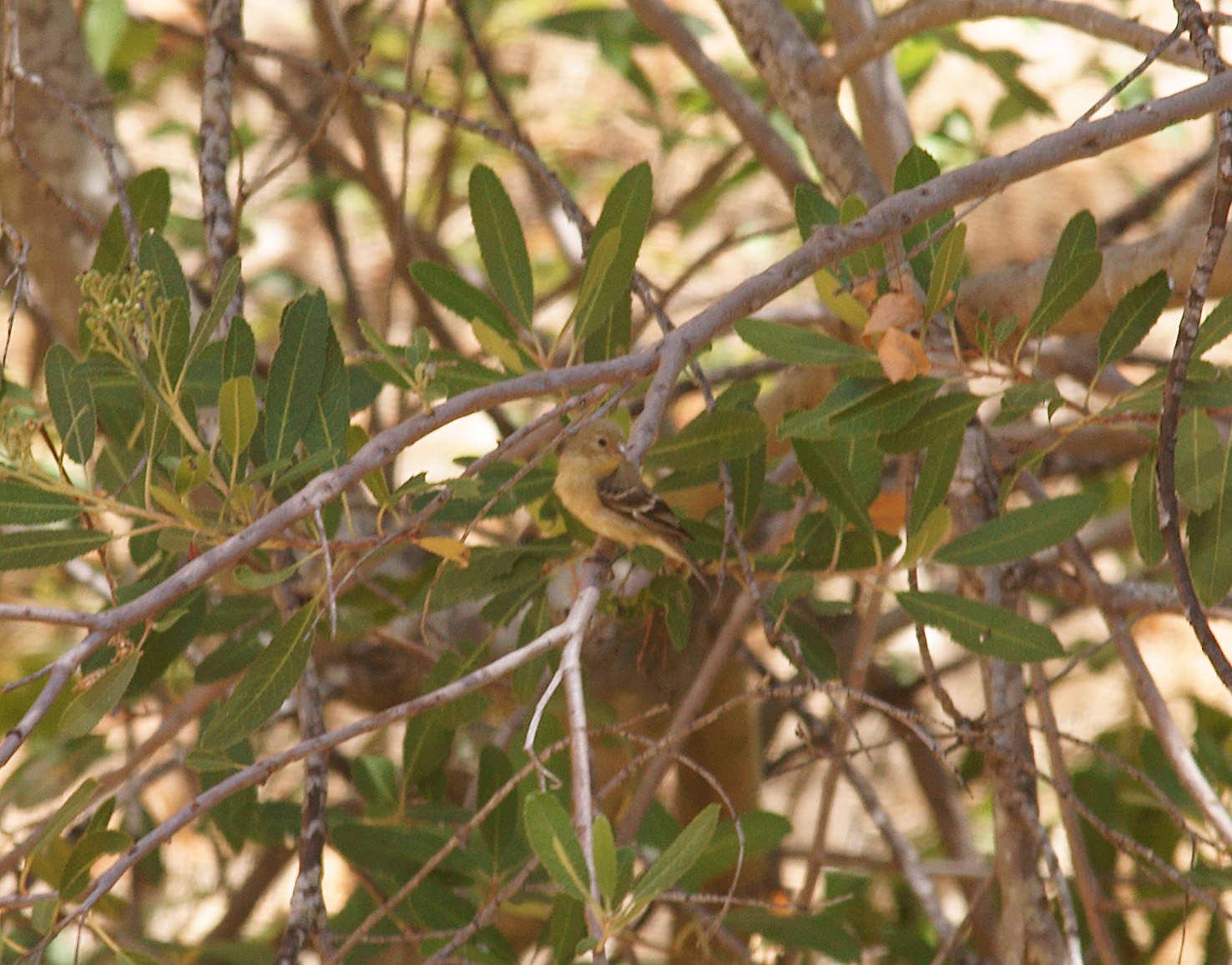
- Pacific-slope Flycatcher
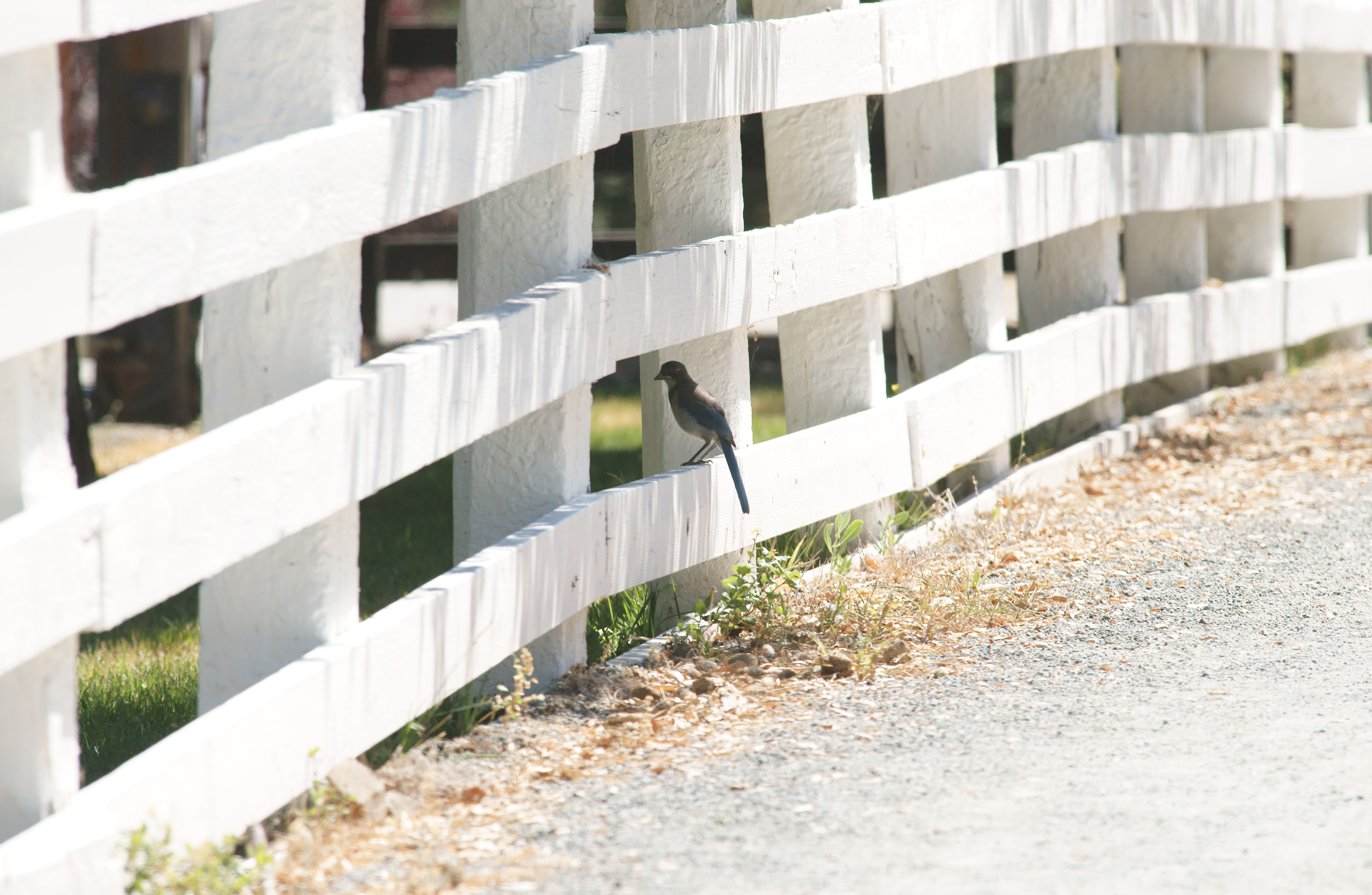
- Scrub Jay
- Western Tanager
Slideshow
View images as a slideshow. Select the parameters for the images to advance automatically or select the manual slideshow to advance the images manually
Images
Images can be clicked to see larger. Click the link under the image to see the full resolution version.


Click on above images to see them larger
Geotagged Image Map
The photos above have been geotagged and can be viewed on the map below. Click any of the pins to see the relevant information - green = track start, red = track end and blue = pictures taken along the way. You can also cycle through the pictures by clicking the “next” or “prev” links.